A better perspective for your business.
Aerial & ground photography, video and visual documentation for businesses, contractors and property owners throughout Northeast Ohio.
Clear imagery of roofs, chimneys and difficult-to-view exterior areas.
Progress, site and before-and-after visual documentation.
Aerial and ground content for websites, social media and advertising.
Strong visual overviews for real estate, land and commercial properties.
Visual Services Built Around the Project
Frame Aerial Enterprises combines aerial capability with ground-based photography and video to give clients useful, ready-to-use imagery without forcing every project into the same package.
Roof & Exterior Documentation
Roof planes, chimneys, gutters, flashing, exterior details, storm-condition imagery and hard-to-access views for visual documentation.
Construction & Projects
Site overviews, recurring progress imagery, repeatable viewpoints, before-and-after documentation and completed-project media.
Business Promotion
Short-form promotional video, social-ready content, aerial establishing shots, ground footage and imagery for websites and digital advertising.
Property & Real Estate
Residential, commercial and land overviews that show location, scale, surroundings and property features from a stronger perspective.
Photo & Video Production
Aerial and ground capture, planned shot lists, edited video, still photography and flexible deliverables based on the intended use.
Recurring Documentation
Weekly, biweekly or monthly project visits can create a consistent visual record for contractors, owners and project teams.
Have Something Else in Mind?
If your project could benefit from a camera in the air or on the ground, ask. Custom projects and unusual applications are welcome.
Search From a Different Perspective
Thermal imaging can help identify heat signatures in fields, woods and other difficult terrain. Frame Aerial is taking inquiries for deer recovery after the shot and lost pet searches in Stark County and surrounding areas, with travel considered for nearby counties.
Deer Recovery
Search likely travel routes and cover ground efficiently after a shot. Contact us promptly with the last known location and time.
Lost Pets
Use an aerial thermal view to support the search for a missing dog or other pet when conditions allow.
Plan the Search
We discuss the location, terrain, timing and conditions before confirming a flight.
Thermal imaging detects heat signatures; it cannot guarantee a sighting or recovery. Flight availability depends on equipment, weather, airspace and site conditions.
Our Work
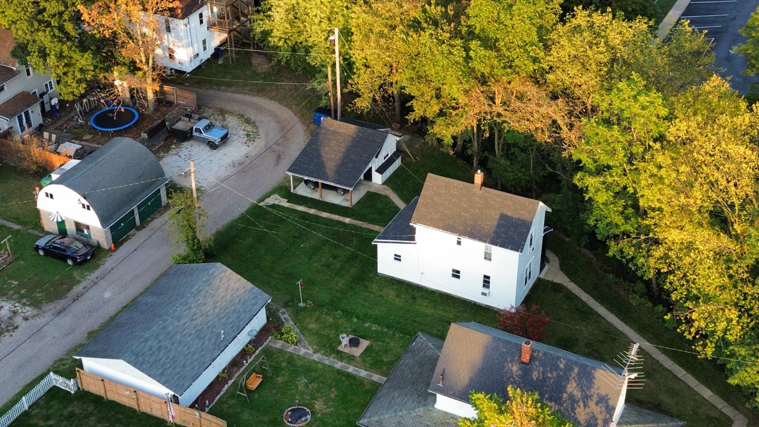
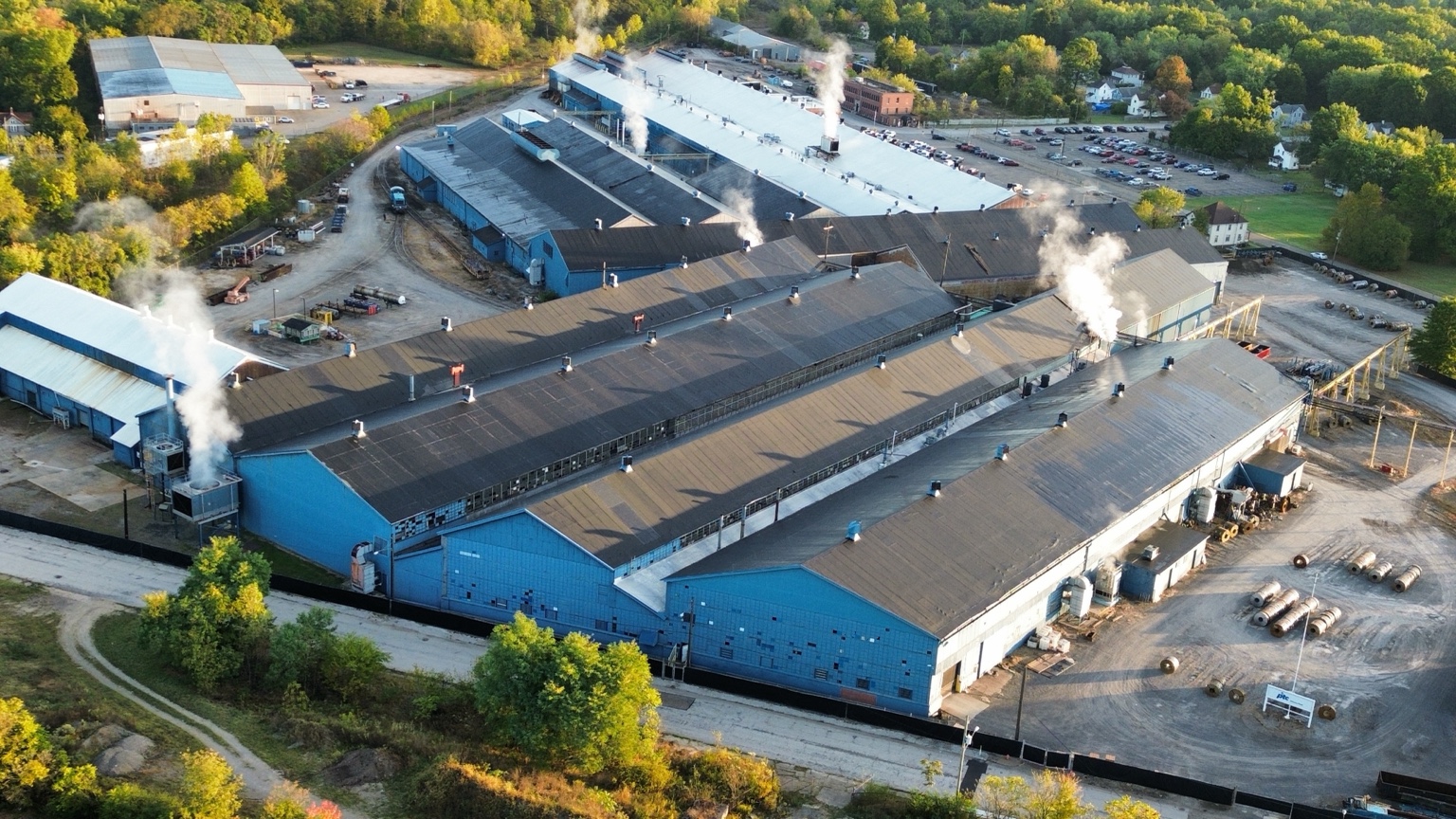
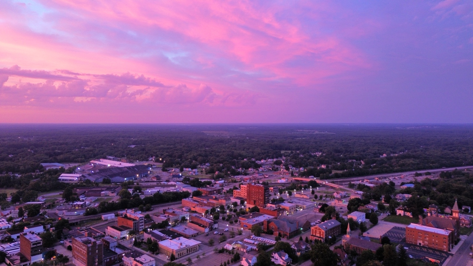
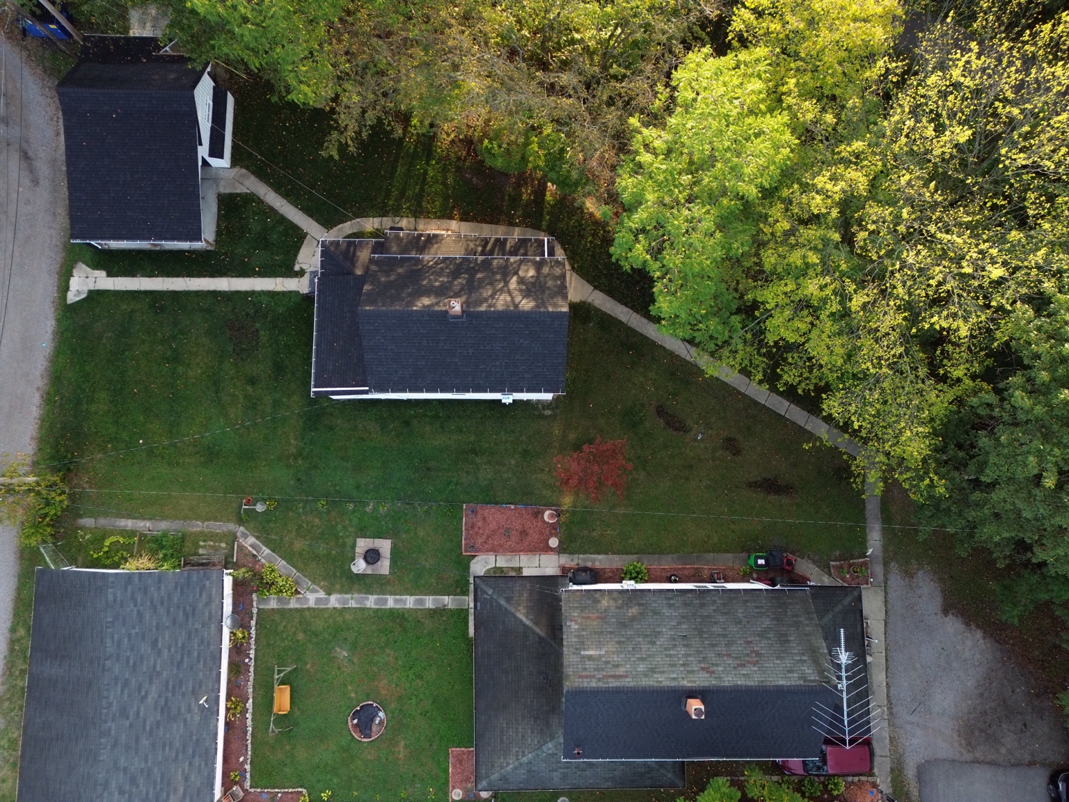
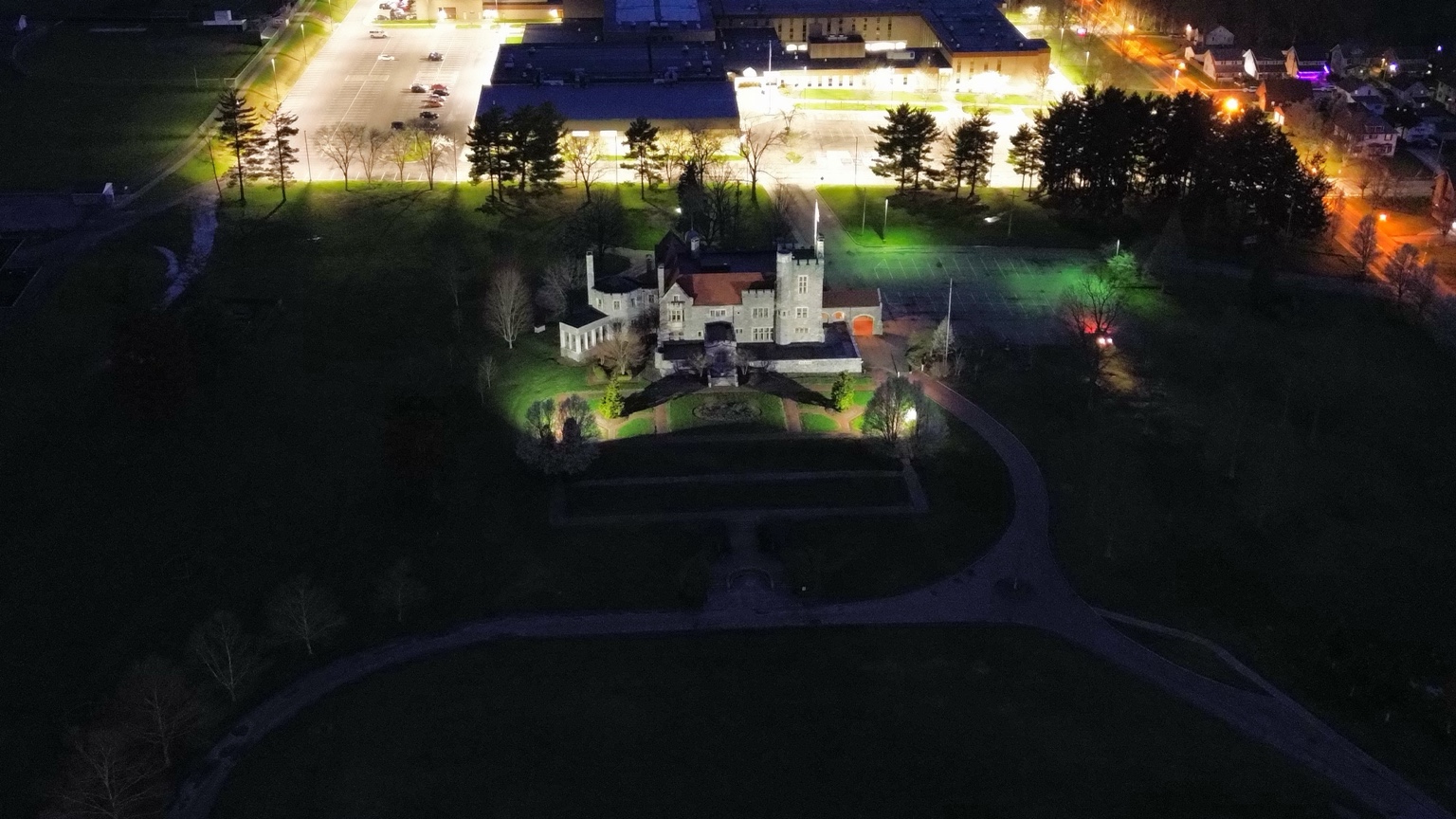
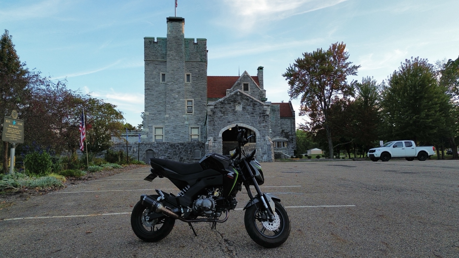
A selection of aerial imagery showing architecture, industry, property, landscapes and the range of perspectives available to a project.
Motion Tells More of the Story
Still photography is only part of what Frame Aerial can provide. Aerial and ground video can show a property, project or business in a way individual images cannot.
Need content for your website or social media? Ask about a custom photo and video package.
Discuss a ProjectRemembering September 11 at Silver Park
A short commemorative film of the 9/11 memorial at Silver Park, created to honor those lost and the community that remembers them.
Filmed and edited by Frame Aerial Enterprises. Runtime: 1 minute 44 seconds.
Download FilmWhy Hire a Part 107 Pilot?
Having a drone is only part of the job. For business flights, the FAA requires a certificated remote pilot in command. A qualified pilot also plans around airspace, weather and the rules that apply to each flight.
Airspace Planning
Check the location and obtain FAA authorization when controlled airspace requires it.
Aircraft Requirements
Account for applicable registration and Remote ID rules before flying.
A Clear Deliverable
Plan the photos or footage around what your business actually needs to show.
Don't just hire someone with a drone. Hire someone who knows the rules of the airspace. Learn about FAA Part 107 certification.
Local. Flexible. Built to Grow.
Frame Aerial Enterprises was built around a simple idea: use aerial and ground-based imagery to give businesses, contractors and property owners perspectives that are useful, compelling and difficult to capture otherwise.
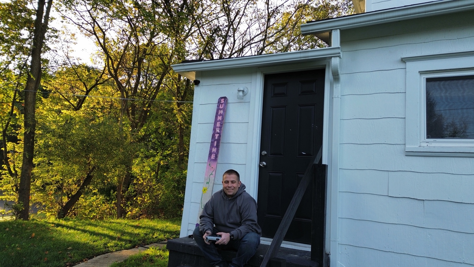
Based in Northeast Ohio and led by an FAA Part 107 certified pilot, Frame Aerial provides a broad visual-services capability rather than limiting itself to one type of drone job. From documentation to promotional content, each project is scoped around what the client actually needs.
Aerial work is subject to applicable FAA requirements, airspace, weather and operational conditions. Visual documentation does not replace surveying, engineering, code inspection, insurance adjusting or other licensed professional services.
Let's Talk About What You Need
Tell us what you are trying to document, show or promote. We can discuss the location, deliverables, timing and the best approach for the project.
Contact Frame Aerial
One-time and recurring projects are available. Contact us for a quote based on scope, location and deliverables.